Location & distance
Where are the people? Where did they begin and end? How far might the journey be?
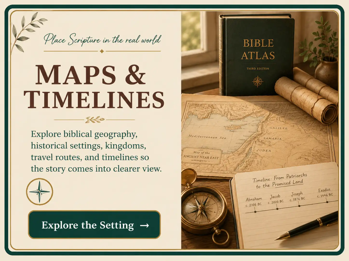
Place Scripture in the real world
Why it matters
Scripture names roads, rivers, deserts, empires, borders, cities, mountains, journeys, reigns, feasts, and generations because its story unfolds in real places and real history.
Geography can explain why a journey was exhausting, a city was strategic, or a route was dangerous. Chronology can show which king, empire, prophet, exile, or covenant event formed the background of a passage.
Tool one
Tool two
Read the land
Where are the people? Where did they begin and end? How far might the journey be?
Is the scene in a hill country, valley, wilderness, plain, coast, or river basin? What would the season change?
Which territories, roads, passes, or trade routes shape movement and conflict?
Who controlled the region at this time? Which neighbors, enemies, or empires surrounded it?
Feel the distance
Ancient travel was shaped by elevation, water, weather, animals, road conditions, security, and the need for food and shelter. The shortest line on a modern map was not always the safest or most practical route.
When Scripture says someone “went up” to Jerusalem, elevation often matters even if the traveler moved south on a modern north-up map. Read biblical directions according to the land, not only the page.
Know who holds power
Assyria, Babylon, Persia, Greece, and Rome did not rule the same territories in the same way. A book’s political setting can clarify its fears, opportunities, vocabulary, and hopes.
Borders also change between the patriarchs, Israel’s monarchy, the divided kingdom, exile, return, and the Roman period. Always match a map to the passage’s historical setting.
A repeatable process
List every named place, direction, region, border, body of water, road, mountain, or wilderness.
Use a reliable atlas or map. Begin with locations the text states before researching proposed identifications.
Note distance, elevation, terrain, water, climate, agriculture, roads, and natural boundaries.
Does the setting clarify travel, danger, defense, trade, worship, conflict, or a repeated route?
State only what the geographic evidence helps you see. The map serves the text.
A repeatable process
Write the events in the order the passage presents them. Do not add dates yet.
Circle dates, reigns, ages, festivals, durations, generations, and phrases such as “after these things.”
Label each point text-stated, calculated from stated data, estimated, or disputed.
Use cross references and historical records carefully. Note where proposals differ.
Include only what helps you follow the passage. A crowded chart can hide the story it was meant to clarify.
Yeshua sets the parable on a real road between Jerusalem and Jericho. Jerusalem sits high in the Judean hill country; Jericho is far lower near the Jordan Valley. The traveler descends through rugged, exposed terrain.
A man is going down from Jerusalem to Jericho and is attacked by robbers.
The route’s descent and terrain make the danger and the traveler’s vulnerability easier to picture.
The land illuminates the scene, but Yeshua’s question about neighbor-love still controls the parable.
Exodus 12 records the Passover and Israel’s departure.
Exodus 15–18 describes travel, testing, provision, and counsel.
Exodus 19 locates the arrival in the third month after leaving Egypt.
A responsible timeline distinguishes the sequence and time markers the text supplies from a calculated calendar date, an estimate, or a disputed reconstruction.
Slow down here
Maps and timelines combine biblical data with interpretation. Check legends, notes, and uncertainty labels.
Borders, cities, roads, and political control change. Match the map to the passage’s historical moment.
Use ranges and labels such as approximate or disputed when the text and historical evidence do not support an exact date.
Fascinating geography can still become a distraction. Return to the author’s point.
Use tools with an open Bible
Free digital maps, photos, Atlas, and passage-based web tools.
Free passage study with place and language data.
A detailed paid print atlas with maps, photographs, timelines, and geographic background.
Your turn